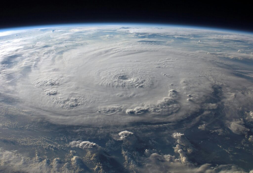
Evacuations Ordered for Coastal Areas
Hurricane Erin has prompted both residents and tourists to leave North Carolina’s Outer Banks, despite forecasts suggesting the storm will remain offshore. The hurricane brought heavy rain and strong winds to parts of the Caribbean on Monday before approaching the U.S. coast.
Officials issued evacuation notices for Hatteras Island and Ocracoke Island, warning that waves could reach 15 feet (4.6 meters) and dangerous rip currents could form. Long queues of vehicles formed at Ocracoke Island’s ferry terminal, the main way to exit besides air travel.
Storm Strength and Trajectory
Forecasters expect Erin to veer north, away from the mainland, but it is likely to intensify in the coming days. The hurricane could generate high surf and tropical-force winds along the barrier islands, according to Dave Roberts from the U.S. National Hurricane Center in Miami.
Impact on Caribbean Islands
Erin strengthened to a Category 4 hurricane with 140 mph (225 kph) winds while hitting the Turks and Caicos Islands and the southeast Bahamas. Authorities in the Turks and Caicos suspended services and instructed residents to stay indoors.
Current Location and Future Threats
By Monday afternoon, the storm was about 140 miles (220 kilometers) north of Grand Turk Island and roughly 850 miles (1,370 kilometers) southeast of Cape Hatteras. Coastal flooding is expected to begin Tuesday and last through Thursday along the Outer Banks.
Tourist Season Disrupted
Evacuations come during peak tourist season, affecting the narrow, low-lying barrier islands that are particularly vulnerable to storm surges. Last year, Hurricane Ernesto remained offshore but still caused high waves and coastal damage.


